
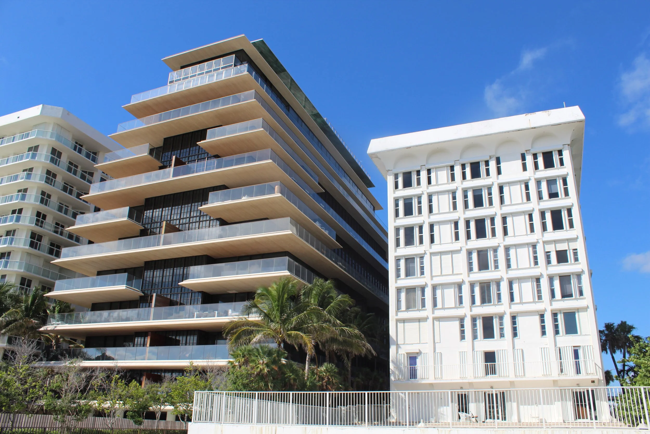
Subsidence & Sea Level Rise
When it comes to analyzing the impacts of sea level rise on coastal buildings, this project investigates the use of satellite geodesy to monitor buildings in Miami-Dade for land subsidence. A key opportunity of this work is to develop proactive communication methodologies with community members in order to communicate subsidence information to the residents of the affected structures without creating adverse and reactive responses.
-
With sea level rise and coastal erosion at foot, several items come into question including of South Florida’s coastline structures:
Safety of Florida’s aged (> 30 years) beach condominium buildings
Need for new technology to monitor and assess the structural health of condominium high rises
Improvement recommendations of county protocols for building recertification.
-
Generate new methods for mapping subsidence hotspots in South Florida based on satellite technologies.
Validate satellite technologies using ground-based measurements.
Identify cracks in buildings as signals for potential areas of differential subsidence and develop appropriate monitoring procedures to assess repair options.
Develop building practices and guidelines for sustainable site development associated with no or minimal subsidence impact of neighboring development
Further investigate climate change impacts on land subsidence such as with sea level rise
-
Fall 2021
ULINK Grant Awarded
Field visits planned
Spring 2021-Spring 2022
Team building meetings on community engagement initiatives
Preliminary site visits
Spring 2022-current
Project is ongoing in monitoring and data collection of selected sites.
Continued identification of partnerships.
Project Team
Dr. Falk Amelung Dr. Esber Andiroglu, Dr. Imelda K. Moise, Dr. Antonio Nanni, Amin Sarafraz, Fari Aziz Zanjani, Nina Jean-Louis, and Sara Mirzaee
External Collaborators
Miami Dade county officials and selected HOA collaborations
Funding Sources
University of Miami (UM) ULINK Resilience Challenge Grant