
Drone Technology & Climate Science
Coastal communities have entered a defining moment where climate change impacts, such as sea level rise, are greatly affecting the lives, places and cultures that surround them. Many of these communities depend upon the coastline for sustenance, trade, and tourism that foster their economic development and livelihood. To minimize the disruption of these activities, mitigation measures are needed to both fully assess and prioritize the hazards and vulnerabilities impacting these communities as well as aid in informing the structural and non-structural mitigation strategies that will make these communities more resilient to a forever altered coastline. The use of drone produced data is a key, yet underutilized, mitigation resource that will aid in assessing a community's capacity to anticipate future conditions, set priorities and respond appropriately.
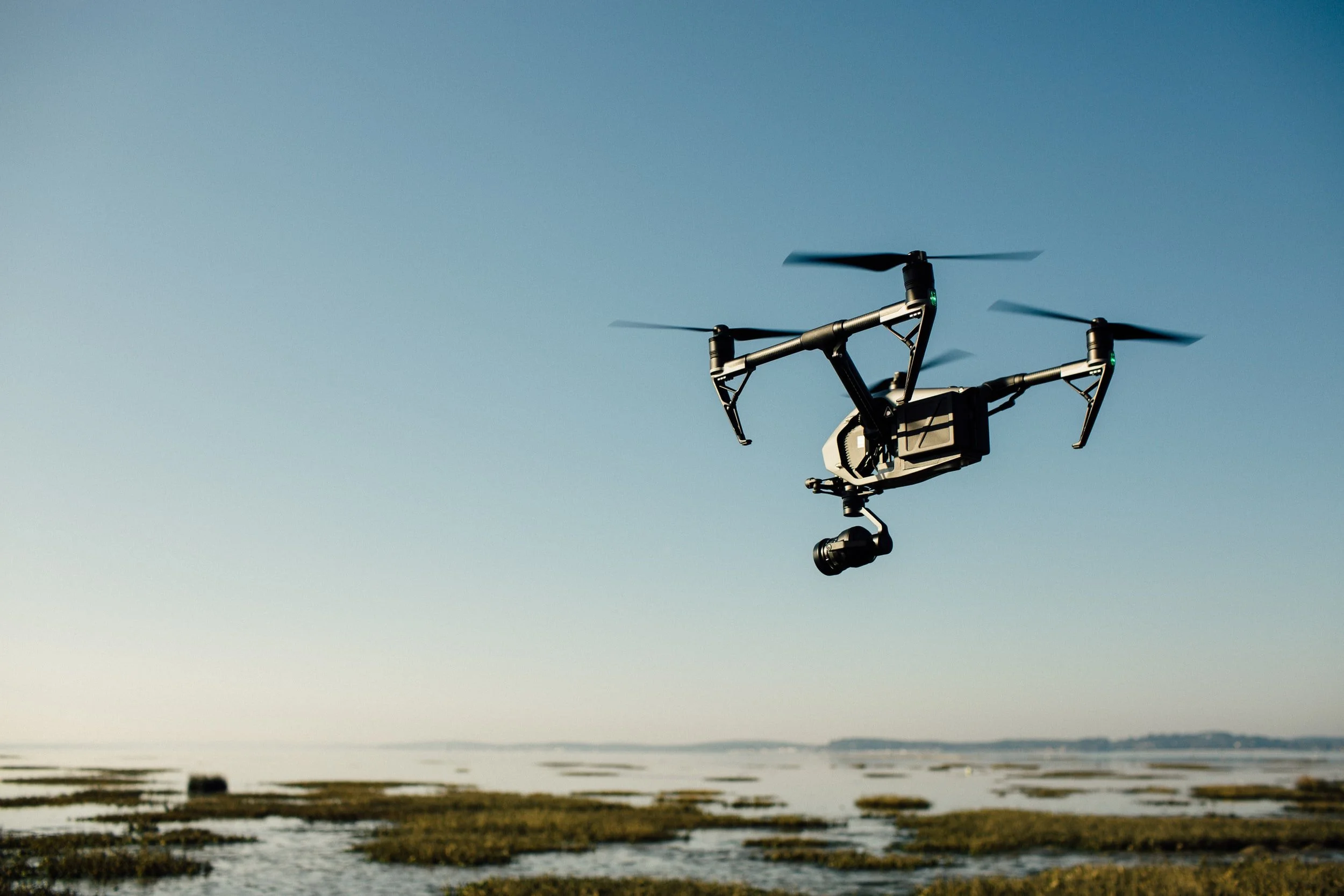
Drone technology is changing how we collect and interpret data from a climate science perspective. Current climate science data is often difficult to interpret by community stakeholders and offer limited 2D graphical information that may not tell the full story behind the specific coastal hazards and associated vulnerabilities that are community specific. Projects such as what is being done at MSU aids in this effort by visually showing coastal erosion impacts and in conjunction with geographical information systems (GIS) mapping capabilities, drone data can be utilized for even more coastal resiliency issues including subsidence vulnerability assessments, freeboard elevation determination as well as heat index reviews as it relates to thermal comfort and efficiency of the coastal built environment (via infrared thermography). The data produce from drone imaging aids in improving traditional data collection means by providing the following:
High-resolution multispectral analyses, resulting in a large amount of diverse data via remote sensing
Expansive landscape surveys with the collection of thousands of high-resolution images and geo-tagged reference points, with no need for traditional ground control and access, especially if an area is deemed to be unsafe
Real time progress monitoring that results in more frequent data capture and progress monitoring of trends
In-field rapid processing to create a preliminary orthorectified photomap and digital elevation models
Digital topographic and terrain models with associated contours
Basemaps illustrating geo-tagged features such as freeboard elevations
3D models with texture mesh support enabling analysis of natural and built-up features including volumetric measurements, change detection, lines of sight, obstructions, infrared temperature models; this is particularly useful in modeling sea level rise and flooding impacts on a community
The main challenge I have seen in applying drone technology is how to get the community involved. Michigan State University (MSU) has a unique solution in which they have launched a coastal resiliency project that demonstrates whether the industry can offer economic development opportunities to communities. The Pilot Institute estimates that the commercial drone market is expected to grow to about $82 billion by 2025, generating more than 100,000 jobs. As mentioned previously, drones being used as a mitigation tool is valuable in understanding how the world around us is changing, and how the community can manage this change. In this coastal erosion monitoring project headed by MSU, researchers organized community workshops that would train community residents to collect drone imagery of critical coastline segments to pinpoint areas of coastal erosion. This training additionally created focus groups to gather information on coastline change and related decision-making in each community. Similar means can be applied to other coastal communities, enabling interdisciplinary collaboration across a variety of stakeholder groups including homeowners, local governments, private sector entities such as architectural, structural and construction companies, real estate developers, first responders, emergency managers, and academic researchers.
This review illustrates not only how communities and stakeholders can get involved in coastal resiliency projects but also how we can use different technologies such as drones as a mitigation tool. What is significant in the coastal erosion project from MSU is that the project combined education, mitigation and community involvement as means to better plan for the area under study. The involvement of the community is key in their decision making but also making them citizen scientists learning and applying the technologies that will help inform their mitigation strategies.